Plan for winter travel with Community Transit
We've got you covered for snowy weather

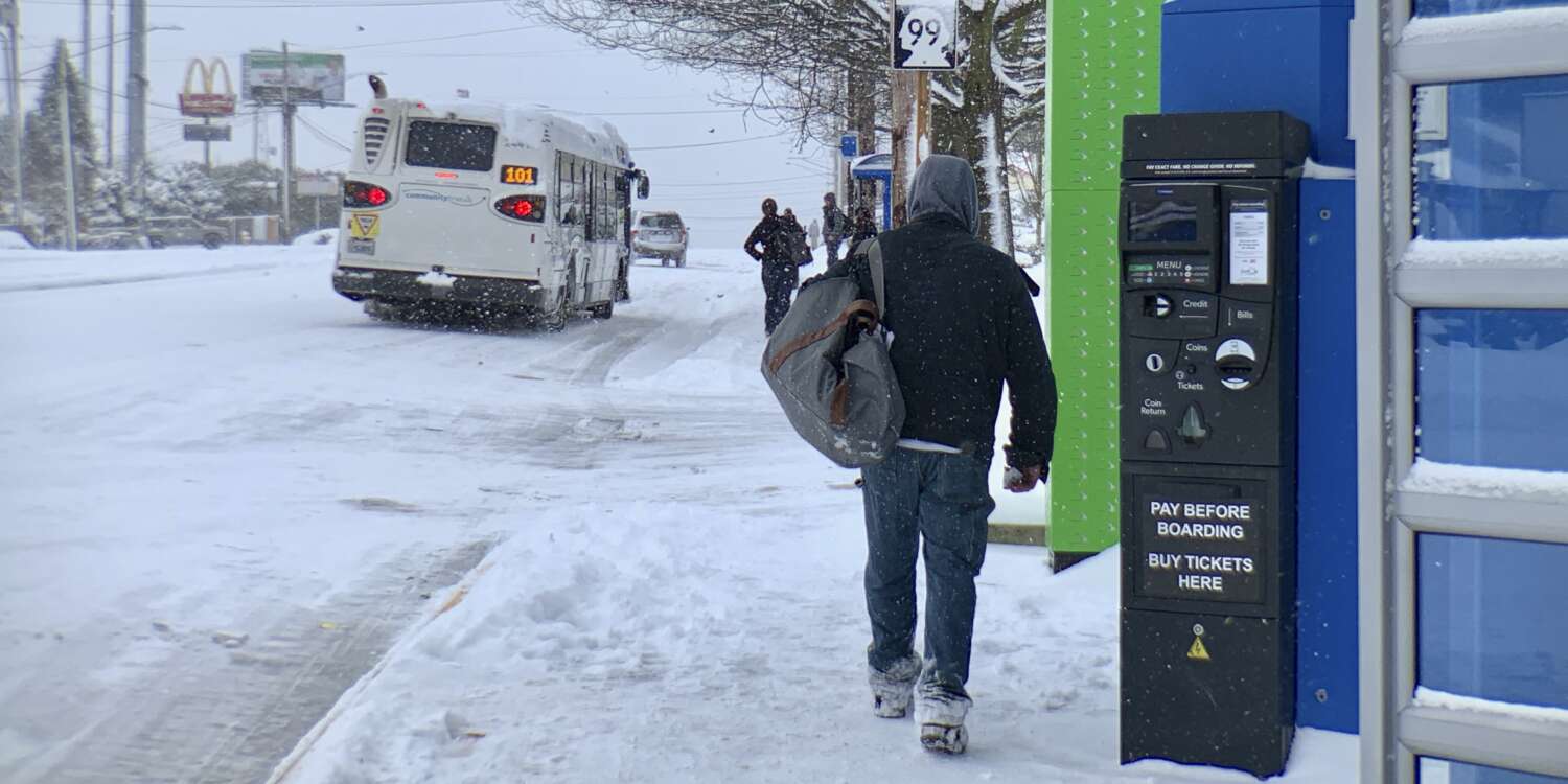
Pictured above: Riders walk to an alternate stop during a previous snow event.
When the weather is wintry, you can prepare for bus trips with Community Transit Snow Route Maps. These maps are designed to make your life easier during snowy and icy conditions. Take a moment to review them so you can enjoy a safer, more reliable commute. It's also important to sign up for Rider Alerts for real-time information about your route.
What is a Snow Route Map?
Your usual bus route may run on a different street when there's snow and ice. A Snow Route Map shows you the bus routes that Community Transit buses follow when weather affects regular service. Snow routes avoid hazardous areas like steep hills or less-maintained roads. Each bus route has a specific Snow Route Map that shows these changes during icy road conditions.
Why Are Snow Route Maps important?
Snow Route Maps are essential because they inform you of changes in bus routes and stop locations during winter weather. It's vital that you know the snow route for your regular bus line because your usual stop might be skipped or moved during snow storms. By familiarizing yourself with these maps, you can anticipate changes to your usual commute, reducing uncertainty and delays. This helps you know where to catch your bus and any detours it may take. By reviewing your route’s Snow Route Map in advance, you can identify alternative stops and plan accordingly.
Additional preparations for riding Community Transit during snowy and icy conditions
Stay Informed:
- Sign Up for Rider Alerts: Receive real-time updates on service changes by subscribing to Rider Alerts via text or email.
- Use “‘Find My Bus’: Track your bus in real-time to see if it’s on a snow route and check for any closed stops.
- If you take other modes of public transit, like Sound Transit Link, Everett Transit or King County Metro, sign up for their alerts.
Dress Appropriately:
- Wear warm clothing and sturdy, non-slip footwear to stay comfortable and safe while waiting for the bus.
Be Visible:
Carry a flashlight, use a cellphone flashlight, or wear reflective gear to ensure bus drivers can see you in low-visibility conditions.
Plan Ahead:
- Consider traveling from major hubs or Park & Ride locations, as these are more likely to have consistent service during snow events.
- Fully charge your mobile devices to access updates and communicate if necessary.
Exercise Patience:
- Expect delays and longer travel times. Buses may run at reduced speeds for safety, and schedules can be disrupted.
For more detailed information and to view the updated Snow Route Maps, visit Community Transit’s Snow Service page.